Product2 min read
The Field Digital Twin — Fusing Satellite, Weather, and Soil Into One Record
The DeepLeaf Data Hub turns every field into a living digital twin, fusing satellite imagery, hyperlocal weather, and soil into 215+ live data layers behind one API.
Every field tells a story — if you can read all of it
A field is not a single data point. It's a shifting system of moisture, temperature, canopy growth, and soil chemistry that changes by the hour and by the meter. Precision agriculture has always promised to capture that complexity, but in practice the data lived in silos: satellite imagery in one tool, weather in another, soil tests in a spreadsheet no one opened after planting.
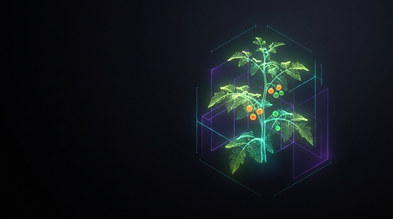
A field digital twin stitches those layers into a single, continuously updated record — a living model of the field that software can query and reason about. That's what the DeepLeaf Data Hub builds for every field it covers.
What goes into the twin
The Data Hub fuses three streams that are usually managed separately:
- Satellite imagery for canopy health, vegetation indices, and change over time through remote sensing.
- Hyperlocal weather so conditions reflect the field itself, not a station kilometers away.
- Soil data to ground everything in what the crop is actually rooted in.
Fused together and kept current, these become 215+ live data layers per field — a dense, structured picture of what's happening across the season rather than a snapshot from one moment.
Why fusion beats a pile of dashboards
Any one of these layers is useful. The value is in the combination.
Consider a stress signal in the imagery. On its own, it's ambiguous — is it disease, drought, or a sensor artifact? Layer in a dry two-week weather window and low soil moisture, and the picture sharpens into a credible drought-stress diagnosis. Fusion turns raw agricultural data into decisions.
A record, not just a view
Because the twin is a structured record rather than a static map, it can be queried programmatically. That's a subtle but important shift: instead of a human squinting at dashboards, software can ask precise questions of the field and get precise answers.
Built for machines and agents
The Data Hub exposes each field's record over an API and an MCP server. The API suits classic integrations — pull the layers you need into your own systems. The MCP server matters for what comes next: it lets AI agents query field context directly, in a structured way they can reason over.
That's exactly how our DeepLeaf-Agronomist models stay grounded. When the model diagnoses a crop from a photo, it can pull the field's live context — recent weather, soil state, canopy trend — and weigh its answer against reality instead of guessing from the image alone.
From twin to decision
A field digital twin is only worth building if it changes what happens on the ground. By fusing remote sensing, weather, and soil into one queryable record with 215+ live layers, the Data Hub gives both people and agents the context to act earlier and more precisely — catching stress before it spreads and timing interventions to the field's real state.
Want to see the layers for your fields? Talk to us about the DeepLeaf Data Hub.